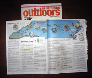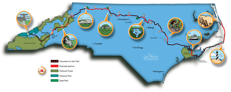


Mountains to Sea Trail map illustration I did for Blue Ridge Outdoors Magazine. Highlights features such as Clingman’s Dome, (the highest mountain in the Great Smokies Mountain National Park), Linville Gorge, Stone Mountain Loop, the Buffalo Creek Greenway, Cape Hatteras Light House, and even highlights a section traveled by President Obama and the First Lady. According to my Art Director, this may be the most detailed map of the MST to date. That wouldn’t surprise me at all considering how difficult the research for this assignment was!
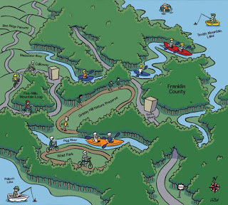
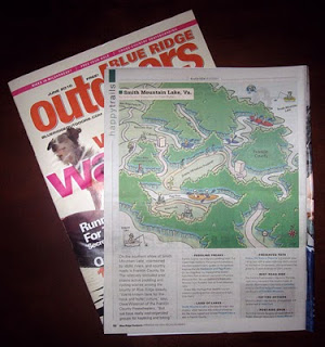
I also did my usual Happy Trails cartoon map, this time for Franklin County, Va.


Leave a Reply
Your email is safe with us.